This is not directly related to Part 1, but similar concepts : you need to get the underlying basic setup – or measurement system – right.
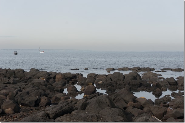
Just a week ago we were out for a walk by the sea along Pt Gellibrand here in Williamstown. On the other side of the bay, we spotted an obvious point, but were unsure what it was. It was misty, so hard to see details. I took some phone photos and went back the following day to take some with a camera. Again it was misty (double click to zoom in on all photos):
On that first day, my simple compass (app) implied this was about due East of Pt Gellibrand (we were not far from the footy ground). Looking at Google Earth later, I speculated it was Pt Ormond as that was ~ East. But at least one other person thought it was closer to Black Rock, more South-East.
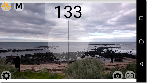
I went back today (a week later, Sunday 26th June) armed with a new toy: a phone app that overlaid the direction (bearing) the camera is facing. Here’s me pointing roughly at the Mystery Point:
Aha, it’s 133 degrees from me. Sort of South-East. Not sure how I had logged it as ~90 (East) last week. Maybe the compass hadn’t been recalibrated? Or Carbon-Based Error?
Anyway, off to Google Earth. Which clearly showed the bearing from Pt Gellibrand to Black Rock was … about 144 degrees. What? Way outside the assumed 1 or 2 degree error margin.
Something was nagging me. Different “Norths”? The upshot is: yes. I found that the (free) version of the App was locked in to use Magnetic North. Google Earth is locked into using True North (as in; the lines on the printed map). They two can be different depending upon your position on the Earth (i.e. the local variation in the Earth’s magnetic field). A quick look-up shows in Melbourne this variance is 11.6 degrees. 133 + 11 = 144. Nice!
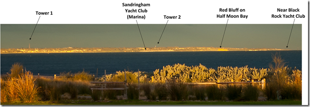
Earlier I’d taken another photo, with the big camera, when the sun was out, then labelled it with my (our!) speculation:

Seems pretty right to me. Just need to work out what the two towers are. And don’t say “a book” ![]()


